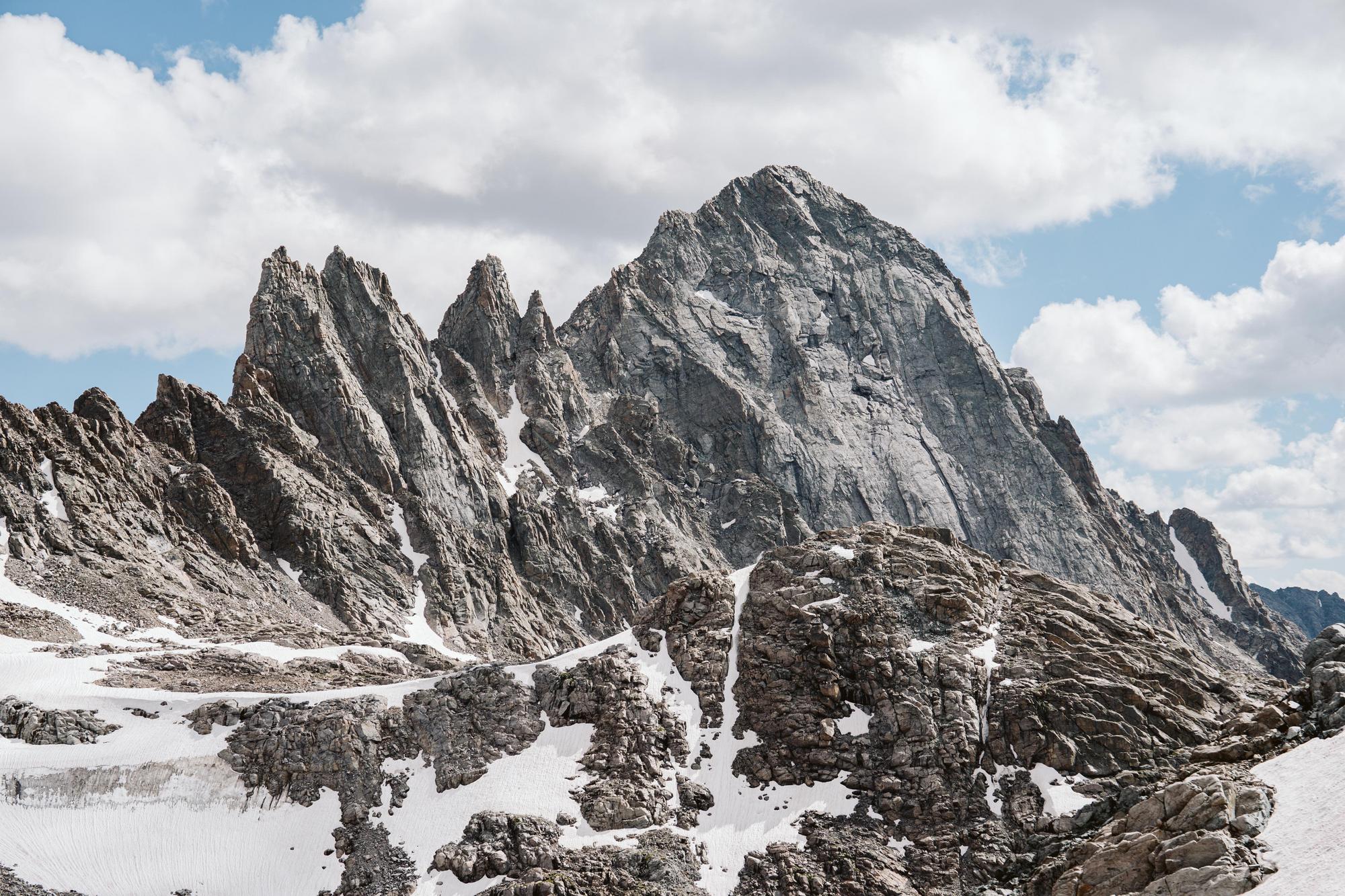
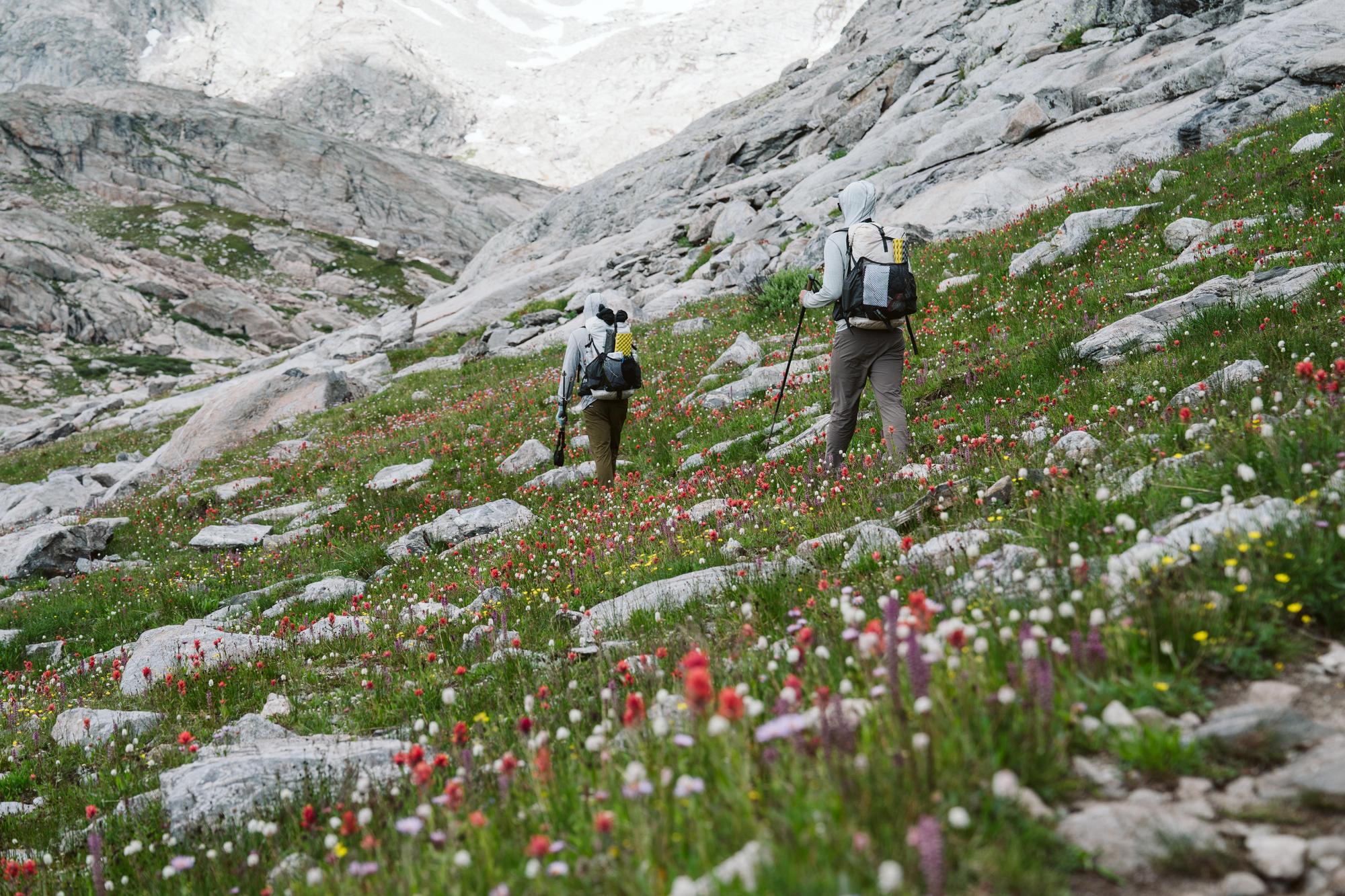
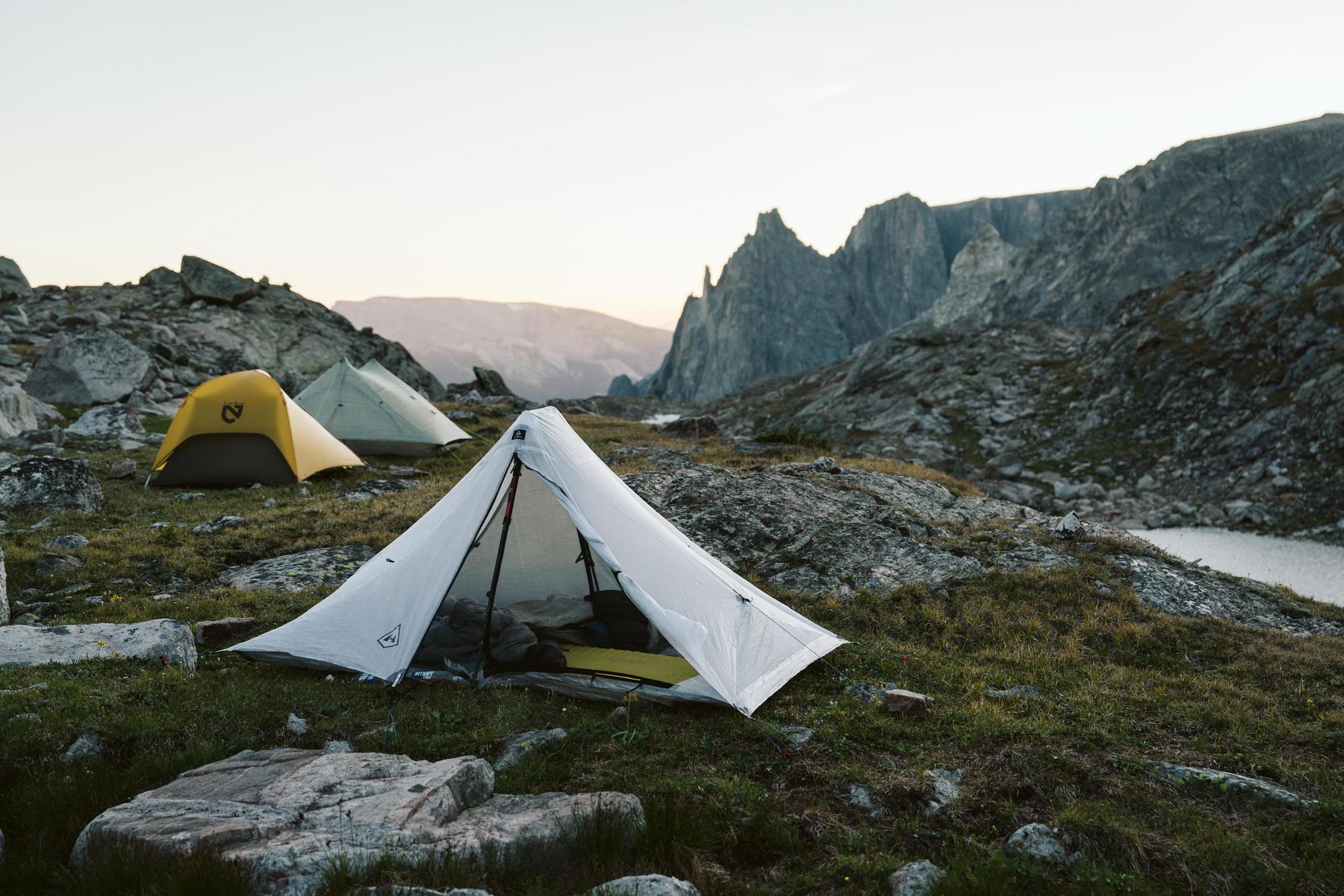
Imagine this for a moment: you are standing beside an alpine lake, the day is overcast and rain seems like a certainty. A cold wind is blowing out of the north and the vertical granite walls that shape the valley you are in force the wind straight toward you. As you make your way further up the valley, you find yourself approaching the end of the line, or so it would seem. Mountains rise up to 13,000 feet around you until you notice the pass nestled between two peaks. At 12,300 feet, it towers above the valley floor. Below this pass lies a great boulder field, 2 miles long and 2000 vertical feet. There are no trails to its summit, and the elevator is out of commission. Slowly, you pick your way up the rocks, hopping from one boulder-sized stone to another. In places, you climb on all fours. The guidebook says to keep to the left near the top as the scree field grows especially loose and unsupportive to the right. Finally, one hour after leaving the valley floor you reach the pass and can appreciate what’s on the other side. Below you lies another rock field you must now descend, however, be careful as it has started to rain.
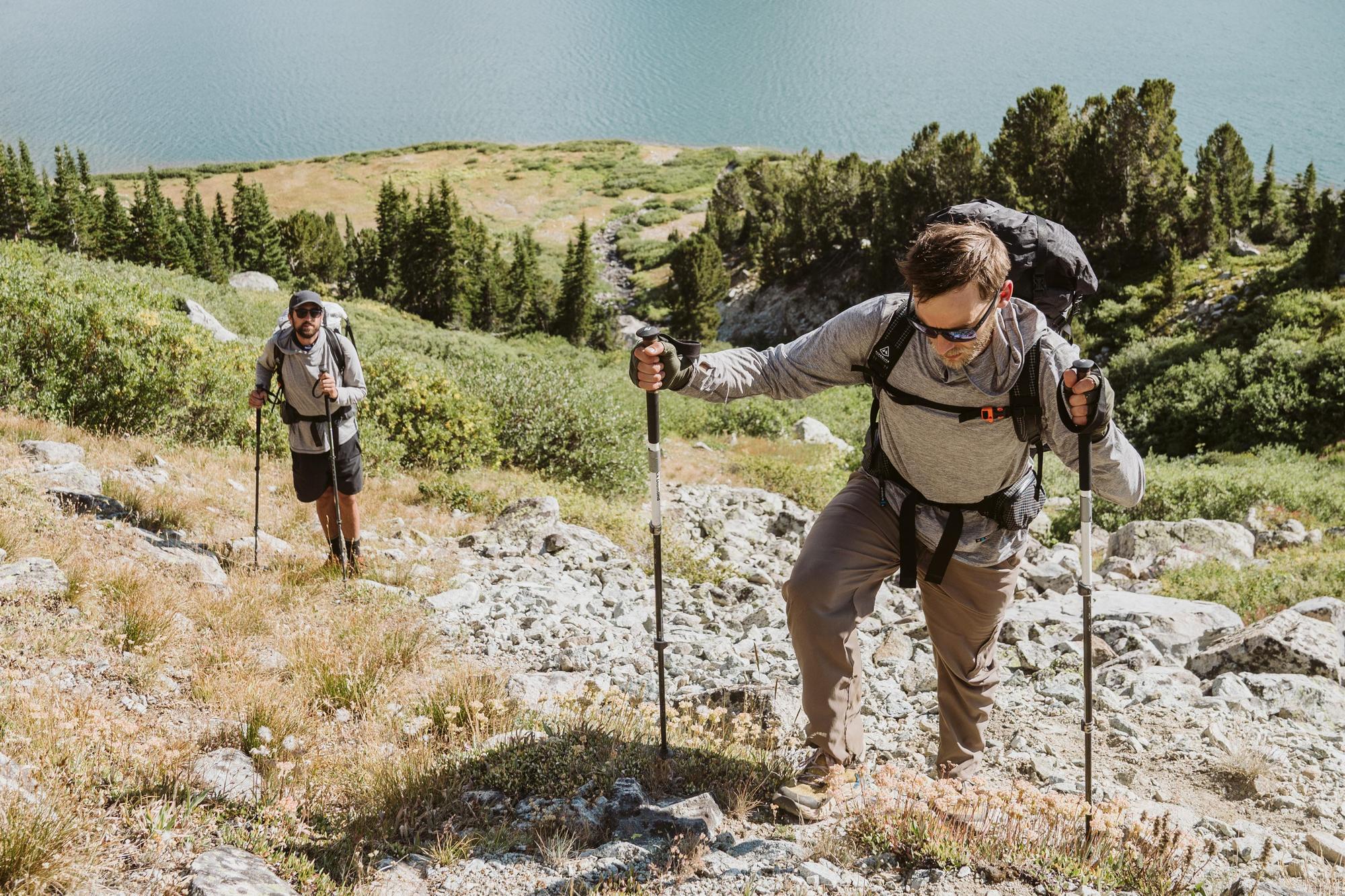
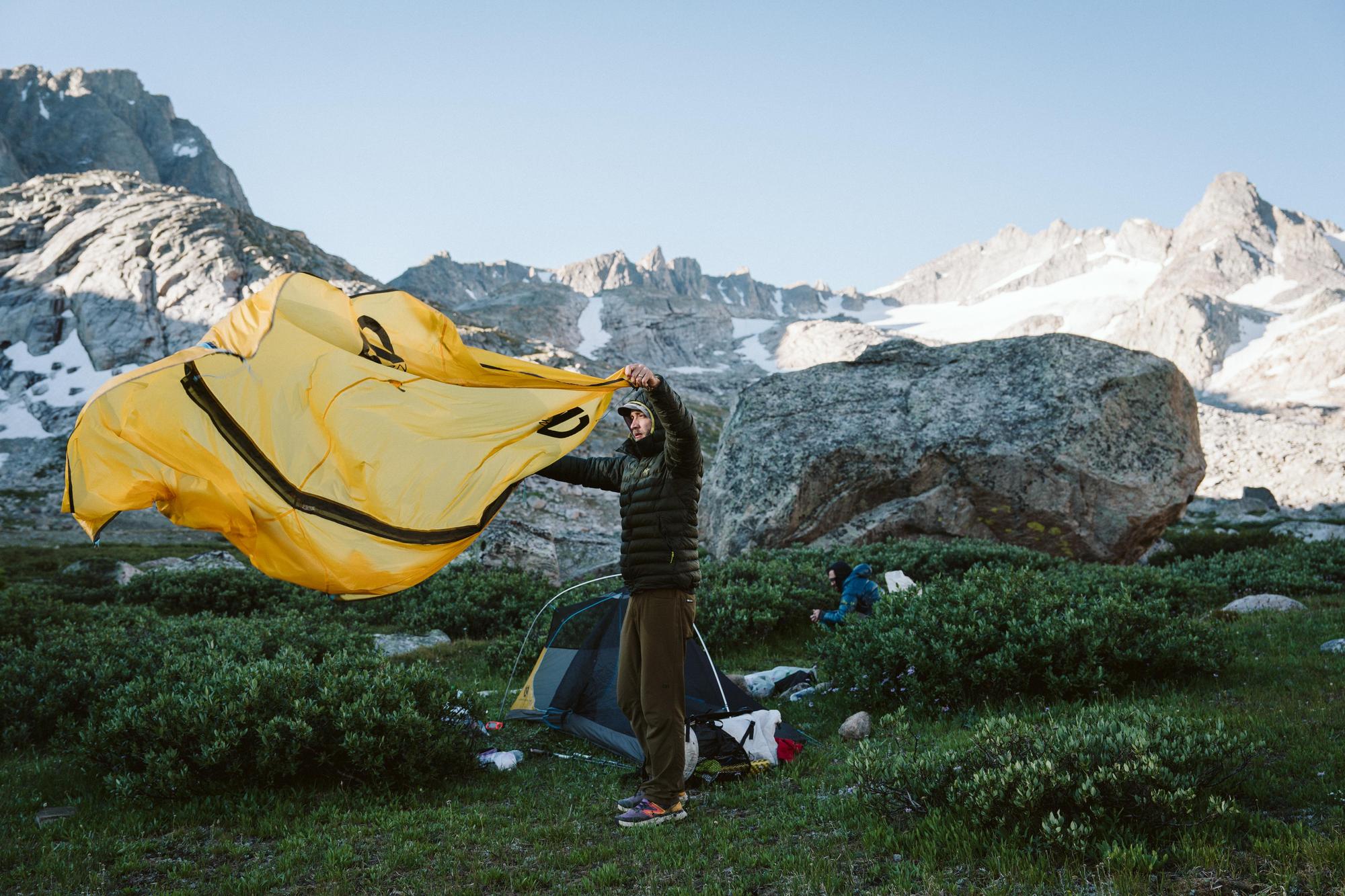
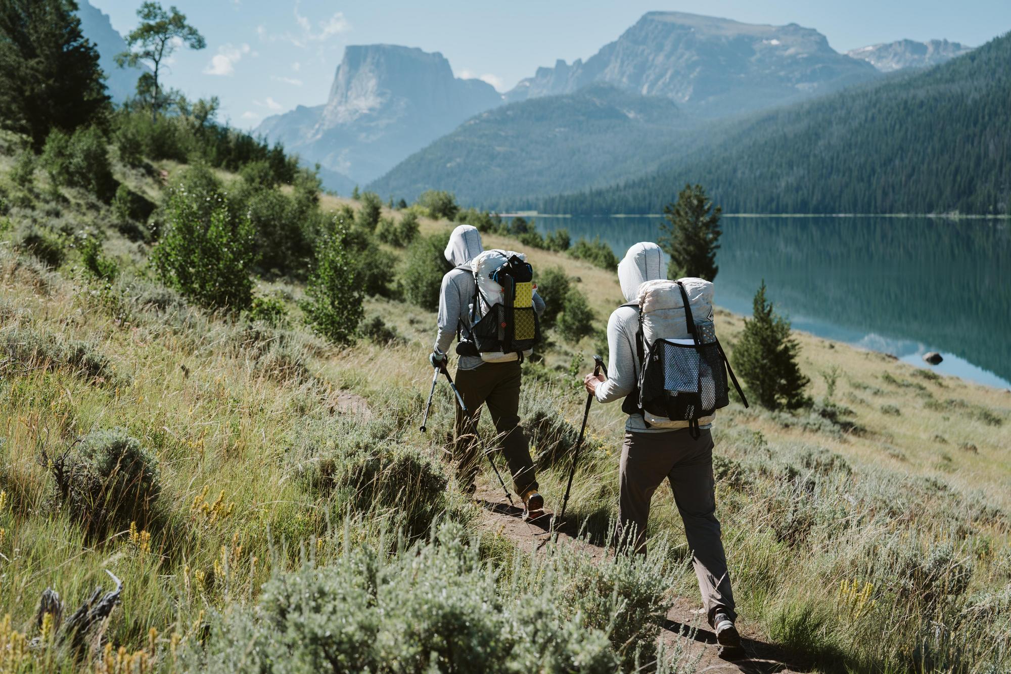
The nature of off-trail travel means you are forced to slow down and pick your way carefully up and down steep mountain passes, across boulder fields, and 35-degree ice slopes. Here, 20 miles from the nearest trailhead, it becomes imperative that you trust everyone in your group to make safe and reliable decisions.
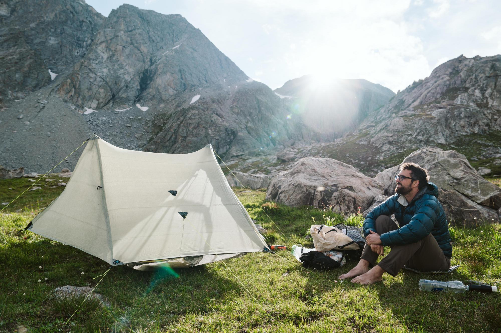
We spent nine days traversing the range, each morning finding ourselves in a new and somehow more beautiful basin than the day before. At one point, we went three days without seeing another human outside of our group. As we approached the final 20 miles of the route, one member of our team injured his knee while descending a particularly steep scree field and we made the hard decision to bail towards the nearest trailhead and abandon the route. Abandoning those miles of snow and glacier travel was not an easy decision, however, hard decisions are necessary when traveling through these mountains.
Those final 20 miles are considered the most remote and exposed of the entire high route.
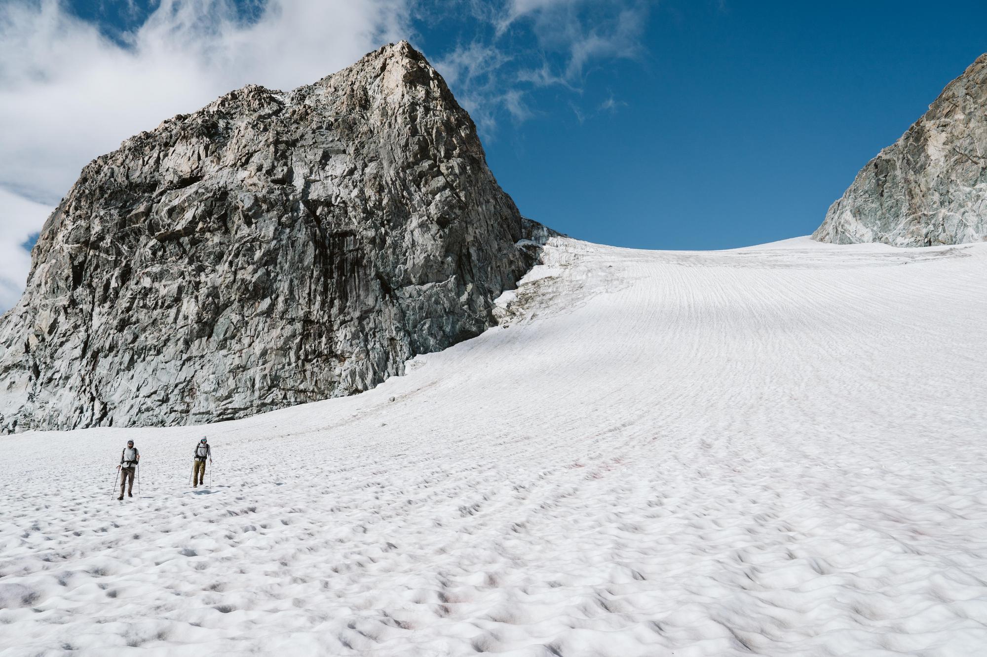
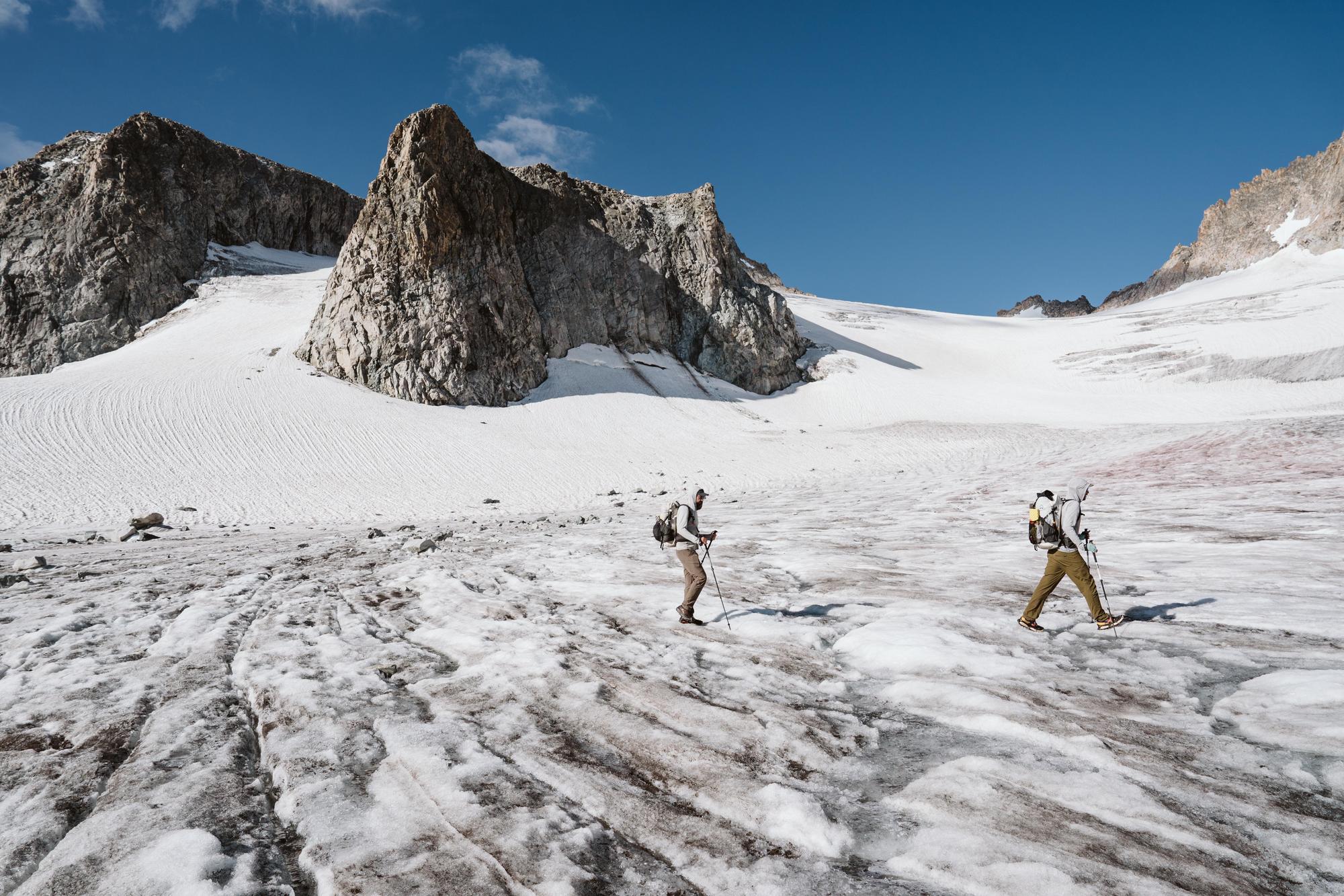
Here, you stay above 12,000 feet for 18 miles as you traverse below Gannett Peak, the highest peak in Wyoming at 13,810 feet, and across the many glaciers and snow fields that cover the northern slopes of the Winds. As we made our way down the valley and away from the high peaks, we all knew those 20 miles would need to be accounted for one day.
In the years that followed our initial attempt, I found myself drawn to the range in unexpected ways. It was as though the mountains were determined to remind us of the adventure we had left incomplete. Every few months, whether peering through the small window of an airplane or gazing at the jagged peaks while pedaling along the Great Divide on my bikepacking journeys, I couldn’t escape the magnetic pull of those untouched miles.
Life brought many changes to each of our lives over the coming years. Babies were born, jobs changed, houses sold and bought—yet we each held onto the idea of finishing what we started. Our group text slowly became just a series of photos of the Wind River as seen from window seats and through car windshields as our lives moved around the range. Each new image re- igniting the spark of conversation to return and complete those final miles.